
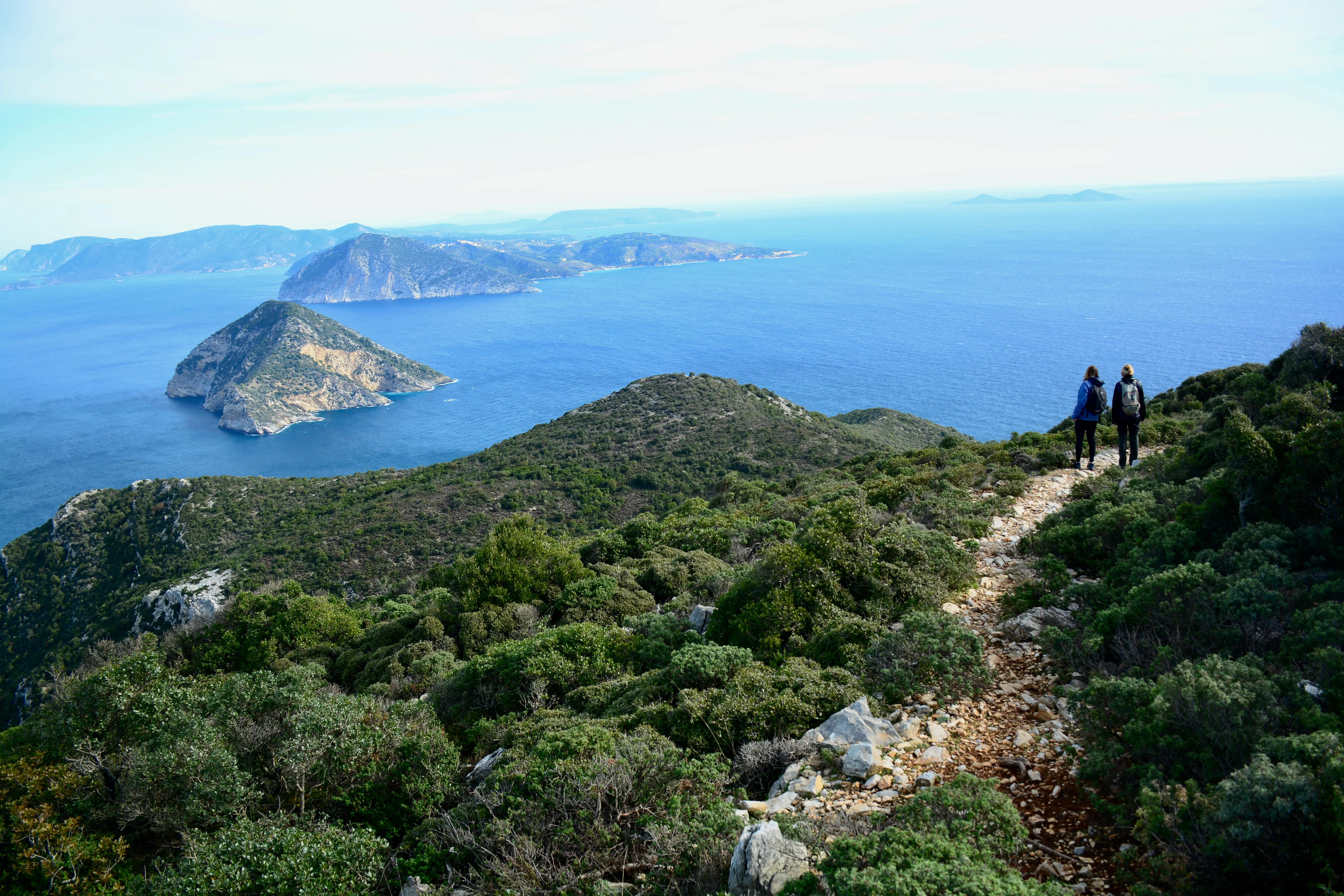
Explore the heart of Skopelos
Eighteen waymarked routes leading you through pine forests, olive groves, ancient kalderimia and the bluest coves of the Sporades.
View all trails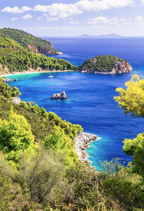
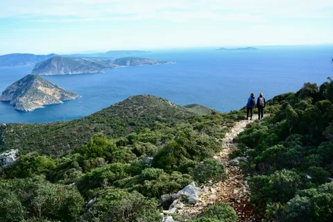
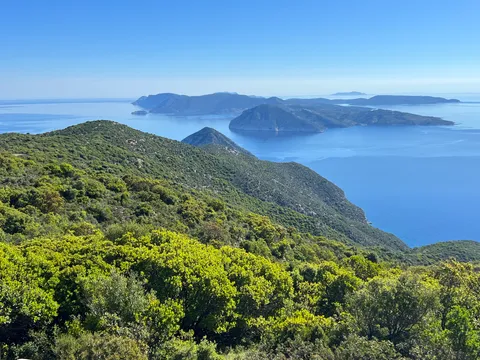
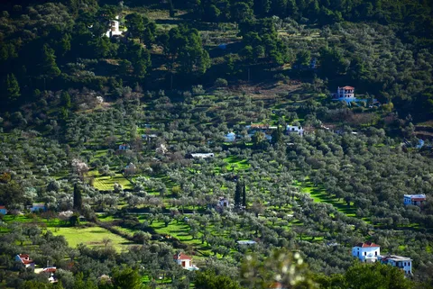
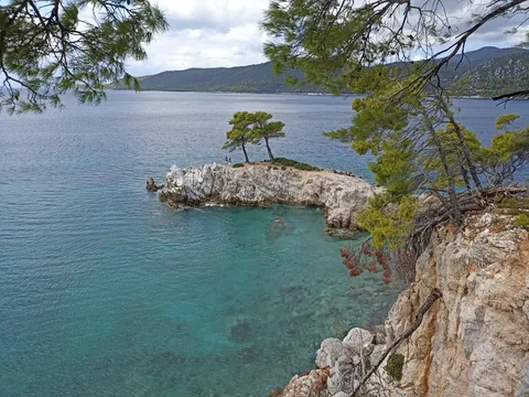
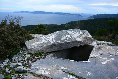
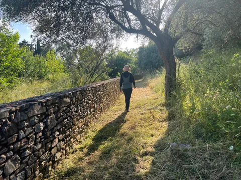
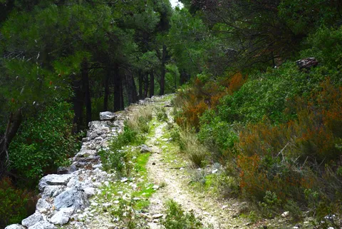
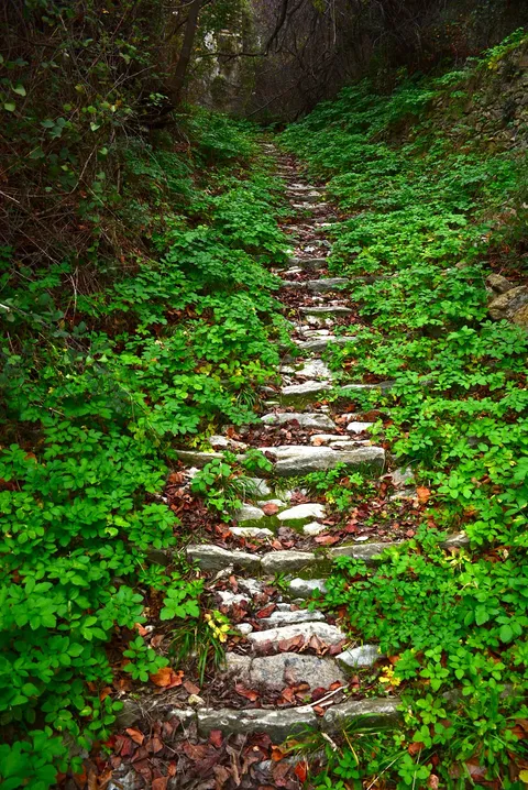
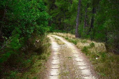
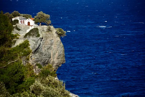
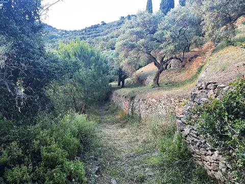

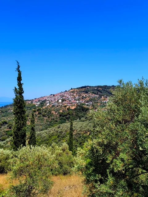
Distances and hiking times refer to walking one-way unless otherwise specified. The hiking times are indicative, based on an average pace of 3.5 km per hour on flat terrain, and do not include time for breaks. The difficulty level of each route is based on the route length, the total ascent and the type of terrain. Difficult trails require a good physical condition and some hiking experience. For out-and-back trails, always take into account the time required for the return trip.
About the network
Skopelos Trails is the official hiking trail network of the island. It is a project of the Municipality of Skopelos, funded by the European Union.
The network was designed in collaboration with local hiking enthusiasts and professional trail builders. Following a detailed study conducted in 2021, the trail clearing and waymarking works were completed in 2026. The network extends across the entire island and includes more than 110 km of hiking trails, divided into 14 main and 3 secondary routes. A large part of the network follows ancient paths that for centuries connected villages, monasteries, and rural farming areas across the island.
With over 110 km of waymarked trails on the greenest island of the Aegean, Skopelos Trails offers something for every hiker, from leisurely walks to challenging climbs. Discover the island's lush forests, enjoy breathtaking views from its highest peaks, visit historic monasteries, ramble through the enchanting countryside or explore its remote and wild landscapes, reach secluded beaches, and experience the authentic heart of Skopelos.
Waymarking
-
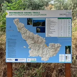
Large information boards
8 large informational signs with maps and hiking route information at key points across the island.
-
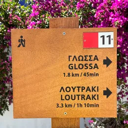
Wooden signs with destinations and distances
Placed at the starting point and at the main junctions of the trail.
-
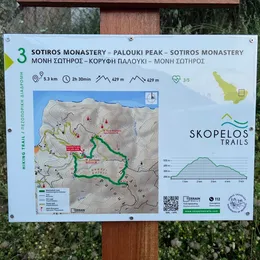
Map signs with trail map and information
Placed at the starting point and at the main junctions of the trail.
-
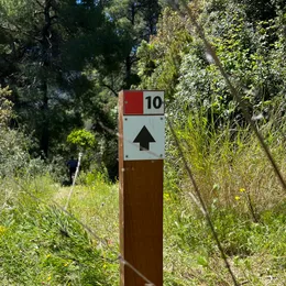
Signposts with direction and trail number
Placed at all intersections along the trail to guide you to the right direction.
-
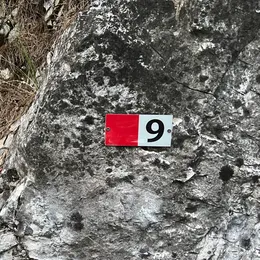
Trail markers
Attached on rocks, walls or poles at regular intervals along the trail.
Safe Hiking Practices
Hiking on the Greek islands is amazing — beautiful coastlines, ancient paths, and quiet villages — but the terrain and heat can make it risky if you're not prepared. Here are practical safety instructions for island hiking in Greece.
-
Never hike alone
Hiking with a partner or group helps ensure that unexpected problems can be handled more effectively, especially on remote trails.
-
Plan around the heat
The best seasons for hiking in Greece are spring and autumn (10–25 °C). If hiking in summer, start early in the morning or late in the afternoon and avoid the midday heat (12–4 pm). Always wear a hat and sunscreen, and avoid hikes longer than 2–3 hours.
-
Carry more water than you think you need
Bring at least 1.5 litres per person on shorter trails and 2–3 litres on the long routes, preferably with electrolytes. Do not rely on finding water along the trail.
-
Use proper hiking gear
Trail shoes or hiking boots, hiking trousers, a light-coloured breathable shirt, and a wide-brim hat. Avoid flip-flops!
-
Tell someone your plan
Make sure someone knows your route, destination, and expected return time.
-
Do not rely only on trail signs
Always carry a hiking map (printed or downloaded), and turn back if you are unsure of the route.
-
Stay on the waymarked trail
Off-trail terrain is often overgrown and may include steep or difficult sections that can be hazardous to cross.
-
Carry basic safety items
A fully charged phone, headlamp, pocket knife, first-aid kit, power bank, and some food.